"*" indicates required fields
Worriken is located in a beautiful hiking area with lovely walks. Here are two recommended overviews with hikes:
- All hikes in the municipality of Bütgenbach
- Alltrails in the municipality of Bütgenbach
- The most beautiful hikes in East Belgium
The hunting season begins on 1 October and lasts until the end of the year – sometimes even longer. Do the hunting check before you plan a walk.
Hikes in Worriken
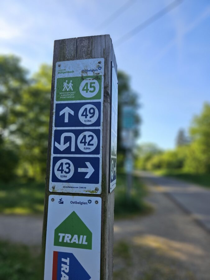
You can plan your own walks using the walking junction node planner or the walking map Around Lake Bütgenbach (€8), which, like the (free) brochure Genusstouren, is available at reception.
All the walks below start and finish at reception. The same applies to the gpx and kml files.
| Hike | Km | Junction nodes – JN | GPX | KML |
| Fitness trail
|
3 / 5 | No JN – just follow the arrow signs.Gpx | Gpx | Kml |
| Kids on Tour: Fun in the forest and near the water | 6,5 | Reception – roundabout – RAVeL – 50 – 53 – 48 – 54 – 11 – 12 – 12 – 6 – 55 – 50 – direction 49 – after 200 m leave RAVeL and return to Reception | Gpx | Kml |
| Around Lake Bütgenbach | 10,4 | Reception – roundabout – after crossing the bridge turn right – 49 – 45 – 42 – 57 – 56 – 9 – 6 – 55 – 50 – 49 | Gpx | Kml |
| To “Bütgenbacher Heck” | 15,1 | Reception – roundabout – after crossing the bridge turn right – Just before JN 49, follow the path (do not take the RAVeL) to the end, then turn left and follow a gravel path to Langen Driesscher Street – turn right – then take the first street on the left – continue to follow the JN: 47 – 70 – 9 – 71 – 70 – 47 – 51 – 49 – Reception | Gpx | Kml |
| Daffodil hike | 14,2 | Reception – roundabout – after crossing the bridge turn right – 49 – 45 – 41 – 18 – 23 – 26 – 40 – 22 – 25 – 33 – 36 – 34 – 39 – 44 – 43 – 45 – 49 – Reception | Gpx | Kml |
| On the heights around Bütgenbach | 21,1 | Reception – roundabout – after crossing the bridge turn right – 49 – 45 –43 – 44 – 39 – 41 – 18 – 23 – 29 – 32 – 28 – 31 – 66 – 68 – 67 – 59 – 69 – 7 – 9 – 6 – 55 – 50 – 49 – Reception | Gpx | Kml |
| Long Bütgenbach hike | 34 | Reception – roundabout – after crossing the bridge turn left-51-48-53-54-11-12-6-9-56-69-59-58-65-62-67-68-27-30-21-25-22-35-32-29-23-18-34-39-44-43-45-49-Follow HN 51 till the street, then turn left to the roundabout and back to reception | Gpx | Kml |
|
|
Explore the Trails at Worriken
Four signposted trails start at the market square in Bütgenbach. The green trail route leads directly past Worriken and offers wonderful views in the heart of nature.
- GREEN Trailrun Bütgenbach: 11 km
- BLUE Trailrun Bütgenbach: 15 km
- RED Trailrun Bütgenbach: 24 km
- BLACK Trailrun Bütgenbach: 38 km
Hiking highlights in the area
Bieley rockSchwarzbach lakeHigh Fens: Wooden footbridges atHaus TernellHigh Fens – Noir Flohay – Botrange, the highest point in BelgiumReinhardstein CastleBayehon waterfall
Lake Bütgenbach: see below
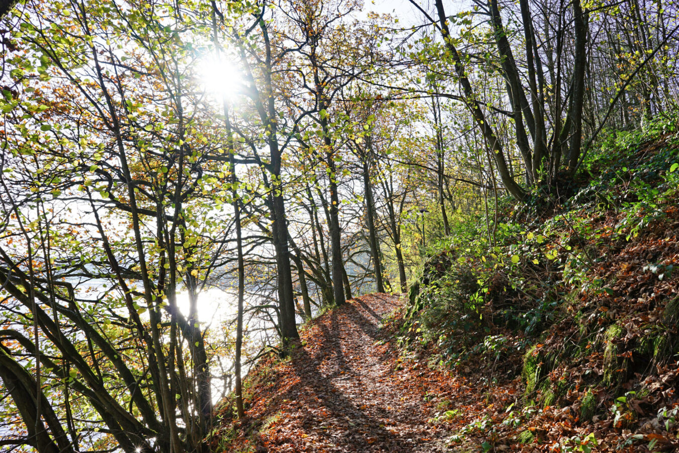
Around Bütgenbach Lake
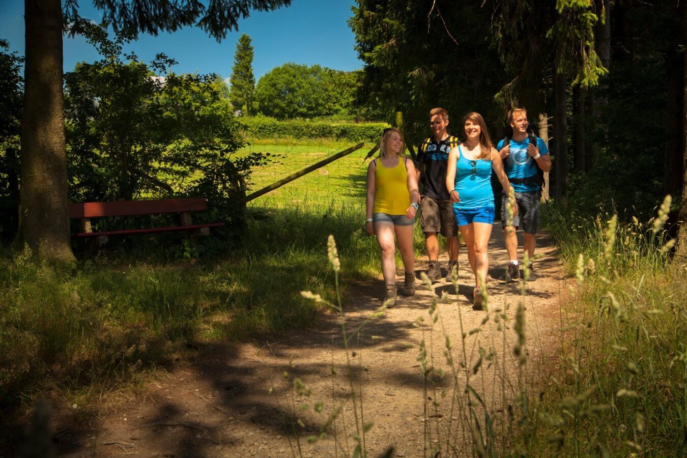
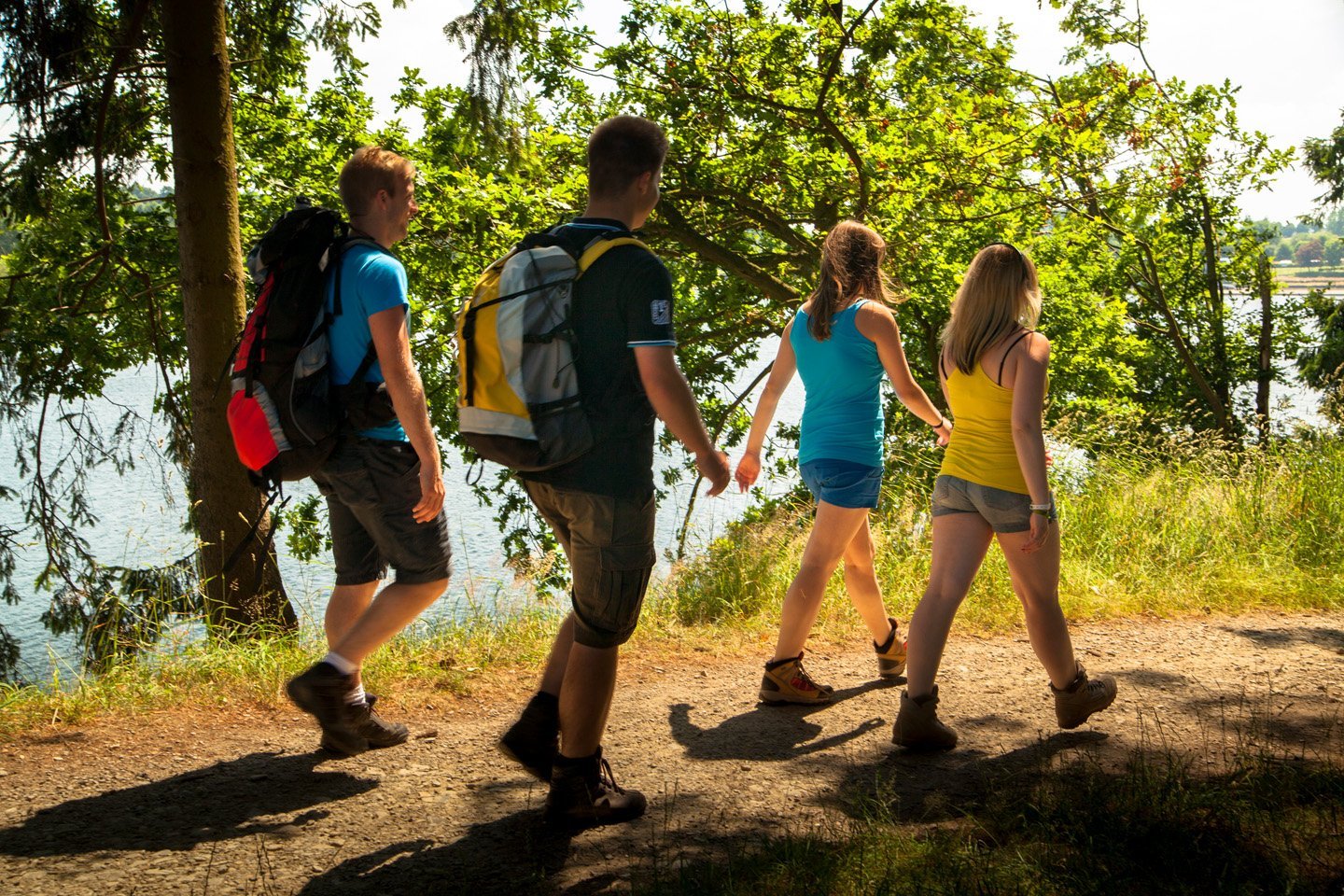
If you go hiking in the East of the Belgian Ardennes, you will find out how varied the landscape and walks are. We recommend that you start your hiking adventure with the Bütgenbach Lake circuit.
This 10.5 km hike is very varied and takes you through different landscapes. On foot through forests and across meadows, on boardwalks and of course along the shore of Bütgenbach Lake, which is never far away. On the way, there is always the opportunity to sit down on a bench and let your gaze wander into the distance.
Although this route is not flat, it is not all that difficult. If you want to take a stroller with you, please note that you will need to lift it regularly. The trail runs mostly along forest trails, making it a popular route for trail runners. There are countless small beaches along the way that invite you to take a rest. However, swimming in the unsupervised areas is not permitted due to the strong current.
Don’t forget to pre-order your packed lunch at the restaurant in Worriken. There are few or no places to eat along the walking route. So a picnic is definitely the best way to go!
On foot along the RAVeL route
Do you prefer flat, even ground under your feet? Thanks to the good tarmac path, you can easily explore the RAVeL route with a stroller, inline skates or wheelchair. Perfect for a carefree trip into nature. There are no cars or other dangerous tripping hazards on the route due to the path leading over a disused, asphalted rail track bed. Whether with a stroller or a wheelchair, there is nothing to hold back people with restricted mobility on the RAVeL route!
Going for a hike with kids
Discover, play, have fun in nature and experience adventures: Here are some ideas for spending wonderful moments in nature with your children while hiking.
- Fitness trail: 3,5 or 5,5 km: A trim trail is a circular route with exercise stations along the path. These stations enable various physical activities such as pull-ups, push-ups, balance beams and stretching exercises. Kids just play around and enjoy the nature.
- Kids on Tour: Forest and water fun (5.7 km)
- Geocaching: Older children in general like geocaching. Finding hidden “treasure” containers in nature can turn the hike into an exciting adventure.
- Treasure hunt: 2 km: Participants solve clues and riddles during a 2 km walk on the grounds of Worriken to crack the code that will allow the treasure chest to be opened. Please note that the site is not suitable for wheelchairs and prams: it is quite an adventurous walk.
- Village rallye
Hiking in the Bütgenbach area
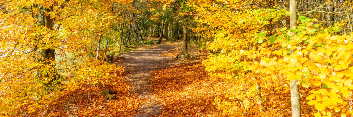
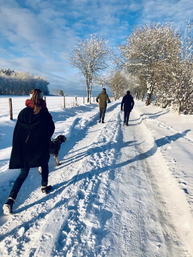
Of course you can also go on many other hikes in the area around Bütgenbach and the High Fens. Thanks to the network of hiking nodes, you can easily plan your own hike. Although the various hiking trails can be very different due to the diverse nature, they do have one thing in common: they stimulate your five senses in every season. The beauty is hidden in everything: the dull stillness of a winter landscape, the bright yellow daffodils in spring, butterflies and the wonderful scents and odours after a summer rain, the mushrooms and the bright colours of autumn. It never gets boring in our breathtaking nature, which will amaze you again and again. Away from everyday life: shift down a gear and put on your hiking boots. If you can spend the night in a comfortable bed after a challenging day of hiking, the day has been a great success!
Long distance hikes
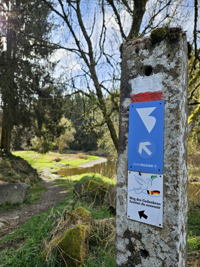
VENNtrilogy
The VENNtrilogy starts or ends at the market square in Bütgenbach. This stage hike crosses three regions, including the High Fens. You follow the signs for the VENNtrilogy. In total, the route comprises 6 stages with a total length of 109 kilometres to the three-country point in Vaals. Here is all the information about the VENNtrilogy
Path of Commemoration
The Path of Commemoration is a 96-kilometre long-distance hiking trail that leads through a fascinating landscape – past border stones, bunkers and memorials from the First and Second World Wars in the German-Belgian border region. It is marked with signs showing a dove of peace. Here is all the information about the Path of Commemoration
GR56 stage hike
The GR56 stage hike, marked by the familiar white and red stripes, also runs not far from Worriken through Bütgenbach. Here is all the information about the GR56 stage hike