



"*" indicates required fields
Worriken – perfect for your cycle ride
Worriken is an ideal starting point for cyclists regardless of the bike you ride: mountain bike, racing bike, touring bike, gravel bike, electrically assisted or not.
- Touring bike: all Bütgenbach cycle routes with nodes can be found here
- RAVEL: Worriken is located along the RAVeL, a flat and asphalted cycling road that is a side branch of the famous Vennbahn.
- Cycle node network: Worriken is located between cycle nodes 19 and 18 at Lake Bütgenbach.
- You can hire e-bikes at Worriken.
- Mountain bike: all MTB routes with start and finish in Bütgenbach can be found here.
- The three signposted routes MTB XC 4, MTB XC 5 and Stoneman Arduenna pass at Worriken
- In addition to these signposted mountain bike routes, there are numerous non-signposted routes for which a gpx track for the GPS device is available. They almost all come along at Worriken.
- Race bike: the Eifel Easy Ride is a racing bike route along 85 km of traffic-free roads. You overcome +/- 700 altimeters and ride a total of +/- 110 km. You cross the beautiful Eifel region. Gpx-Routes for race bikes can be found here.
- Gravel bike: Bütgenbach and Worriken have developed some GPS routes for gravel bikers. Routes for the gravel bike with start and finish in Bütgenbach can be found here.
- By bicycle to the Spa-Francorchamps F1 race track: 33 kilometres, 270 metres of elevation gain (350 metres of descent), all on traffic-free RAVeL paths: all paths are paved ==> suitable for all types of bicycles: gpx – kml
Before you set off, please make sure your route doesn’t go through hunting areas.
Cycling routes with start and arrival at Worriken
| Route | Km | Gpx | Knotenpunkte (KP) |
| MTB: XC5 Bütgenbacher Heck – Wald und Wiesen | 32,6 | Gpx | Keine Knotenpunkte – Schilder folgen: XC5 |
| ATB: Rund um den See | 33 | Gpx | Rezeption – RAVeL Richtung Bütgenbach, dann den Knotenpunkten folgen: 18 – 17 – 16 – 15 – 14 – 46 – 45 – 44 – 87 – 93 – 99 – 19 – Richtung 18 – RAVeL verlassen – Rezeption |
| GRAVEL: Gravel Bütgenbach | 40 – 400 Hm | Gpx | Nur Gpx |
| GRAVEL: Oleftal | 47 – 650 Hm | Gpx | Nur Gpx |
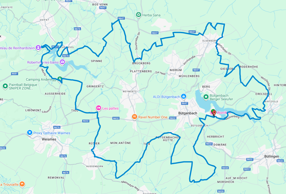
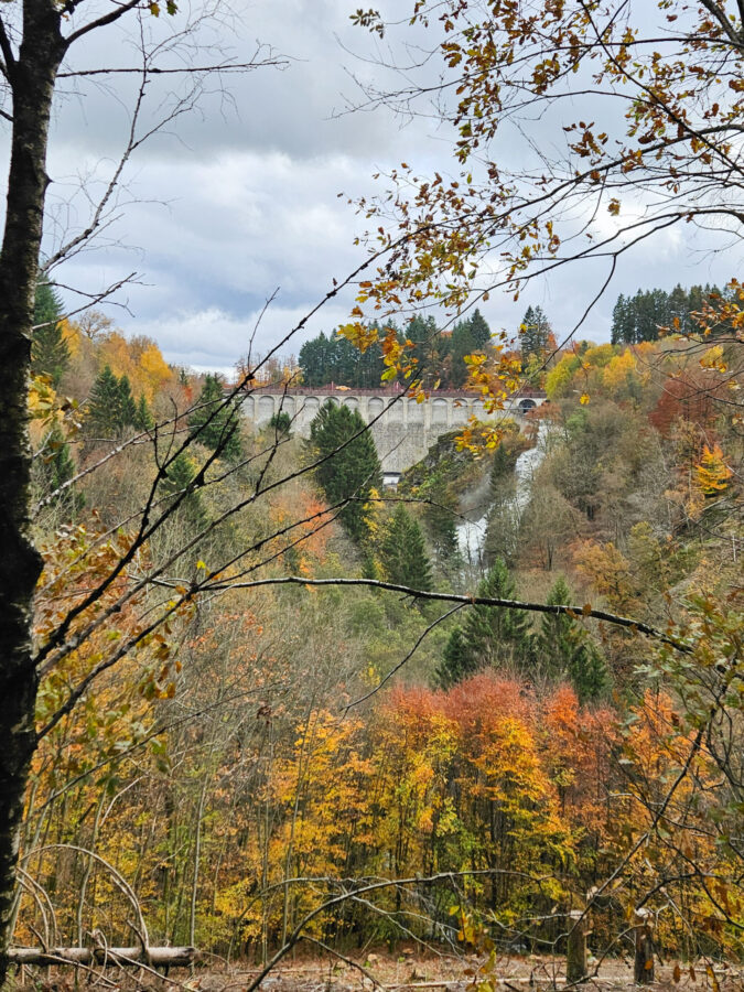
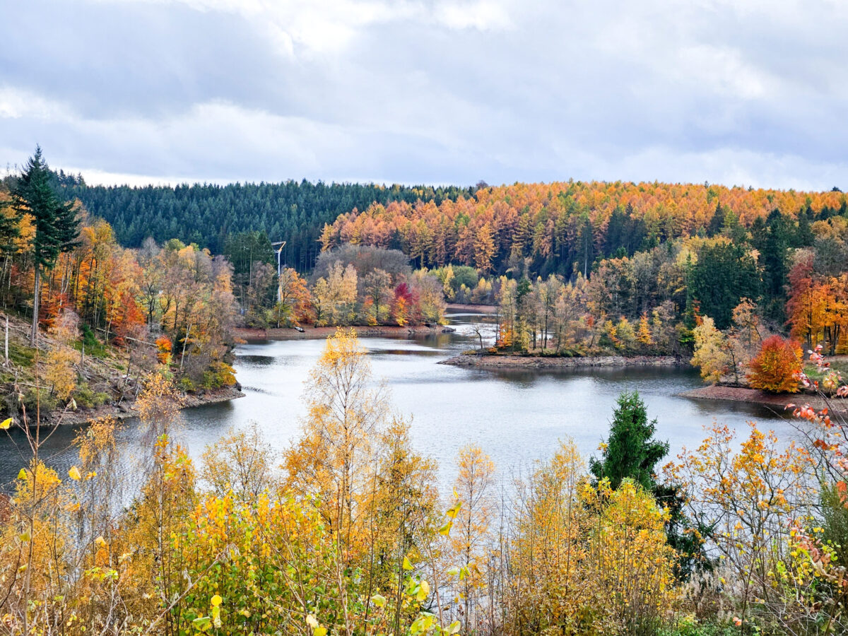
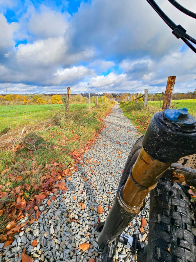
| GRAVEL: Winter Groad Tour– Bilder und Karte siehe unten | 55 – 800 Hm | Gpx | Nur Gpx |
| MTB: XXL Tour 5 und 6 | 75 – 1353 Hm | Gpx | Nur Gpx |
| GESPERRT GRAVEL: Gravel Nord Bieley Hohes Venn | 76 – 1100 Hm | Gpx | Nur Gpx |
| Vorab prüfen: ist Durchfahrt Militärgebiet (rote Zone) möglich? | |||
| GESPERRT GRAVEL: Gravelrunde Talsperre Eupen | 84,6 – 1450 Hm | Gpx | Nur Gpx |
| GRAVEL: Burg Reuland | 95 – 1700 Hm | Gpx | Nur Gpx |
Cycle to the Spa-Francorchamps F1 Circuit
Want to get to the Spa-Francorchamps F1 Circuit stress-free? You can! Set off by bike from Worriken and, after a 30.5 km ride along the RAVeL – Wallonia’s car-free network of cycling and walking paths – you’ll arrive at the free bicycle parking area at the Blanchimont entrance.
You can find all the information about the bicycle parking here:
https://www.spagrandprix.com/fr/faqs?categoryId=19
The entire 30.5 km route follows the RAVeL, making it ideal for leisure cyclists who want to enjoy a safe, relaxed ride to the circuit.
The outward journey
is particularly enjoyable, as most of the route is downhill.
Distance: 30.5 km
Outward journey: +152 m / −362 m
Return journey: +362 m / −152 m
Please allow a little extra time for the return journey, as there is more elevation gain to tackle.
Start: Worriken reception
Finish: Blanchimont cycle car park
Address: Route de l’Eau Rouge 22, 4970 Stavelot
Download the GPX file:
The route is also available on Outdooractive.


Strava
Get outdoor inspiration and follow the Strava account of Worriken.
