"*" indicates required fields
Orienteering Worriken
Material
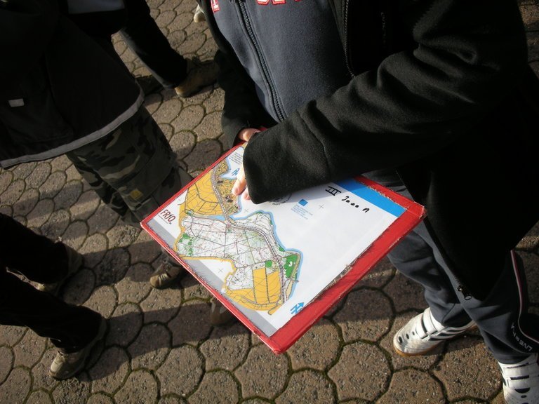
- Orienteering map
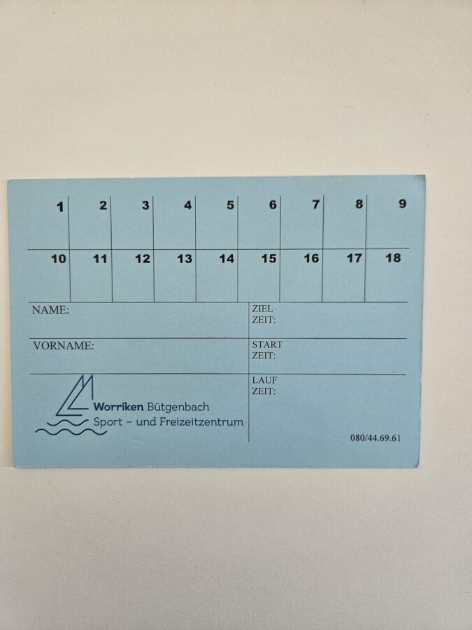
- Control paper (kleine farbige Karte)
Goal of the game
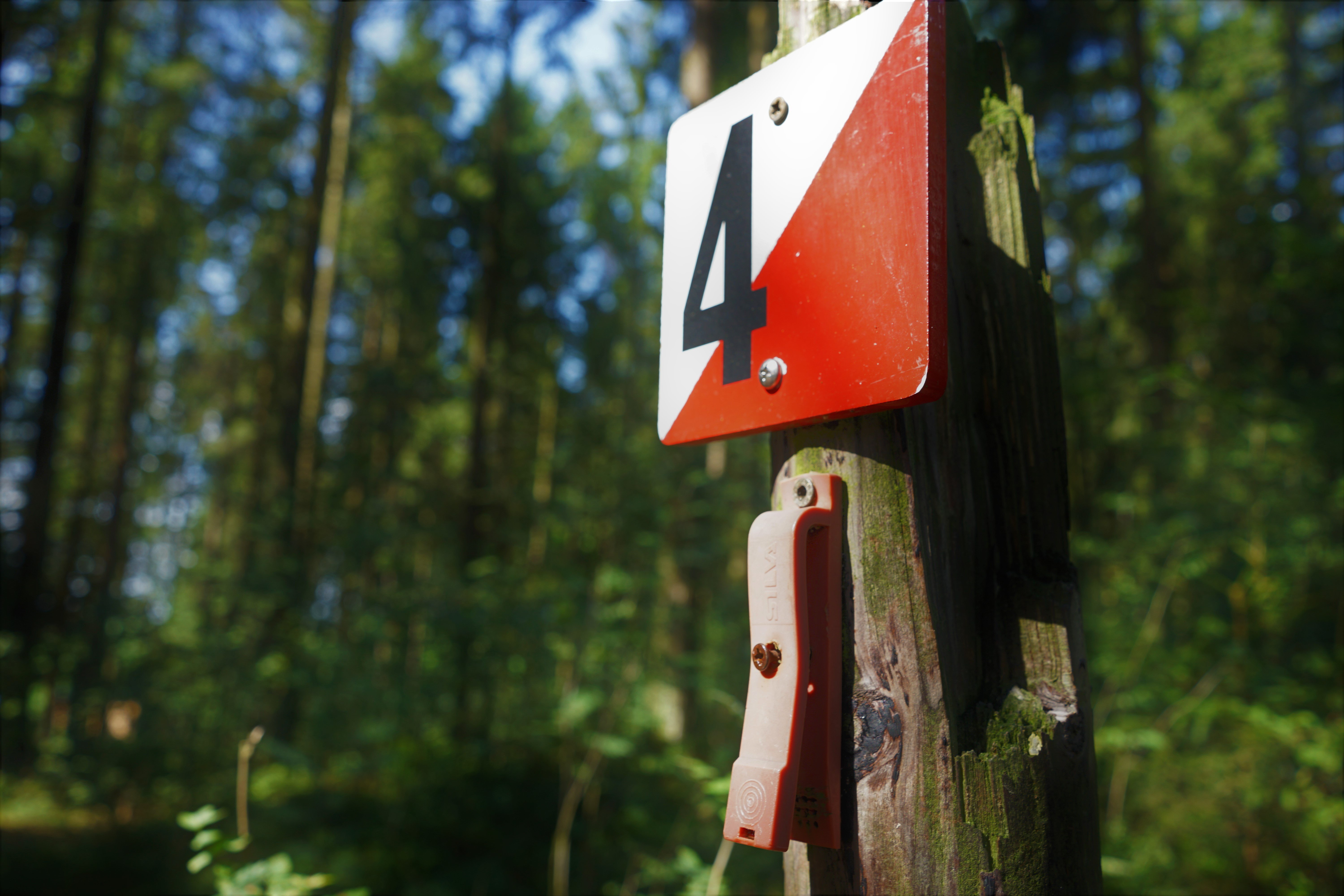
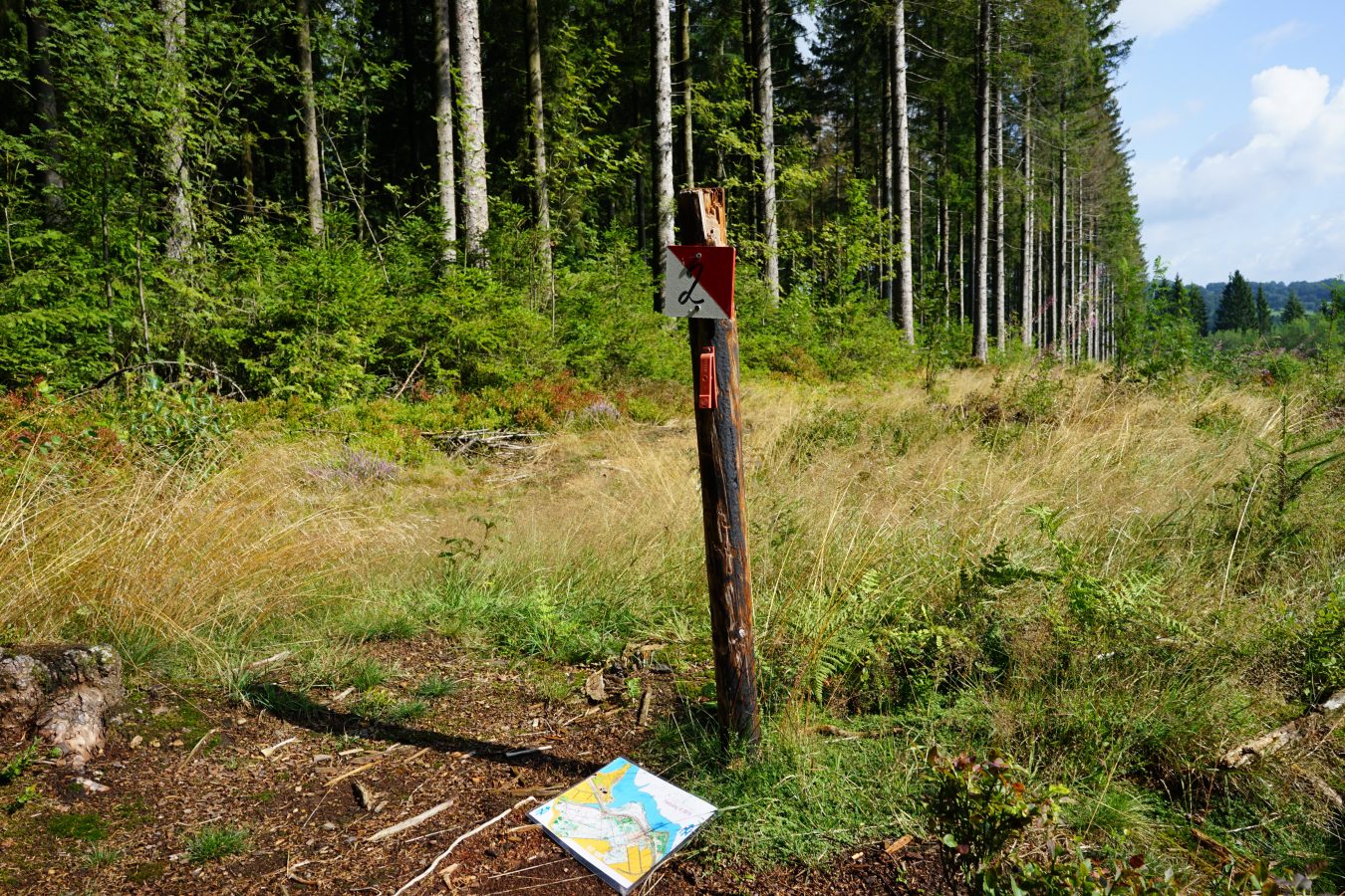
Orienteering is an individual race against the clock on varied terrain. The course has checkpoints that you have to find in the right order with the help of a map. The choice of routes is up to you. Our course has 10 fixed checkpoints (small wooden signs, red and white with numbers, see picture). These signs are located on wooden posts (do not remove them!). On these poles there is also a stamping pliers with which you punch holes in your control card (each hole pattern is different). The aim of the game is to find all the posts.
How do you use a map to orient yourself?
- Hold the map flat. Place the map in front of you or hold it horizontally in your hands.
- Find your location. Find exactly where you are on the map.
- Observe your surroundings. Look around you: Which paths, buildings, trees or bodies of water can you see?
- Compare and rotate the map. Find these landmarks on the map and rotate it so that everything matches the real surroundings.
- Determine your destination and route. Think about where you want to go and look at the map to see which paths will take you there.
- Always turn with you! If you change direction, you must also rotate the map accordingly so that it still corresponds to reality.
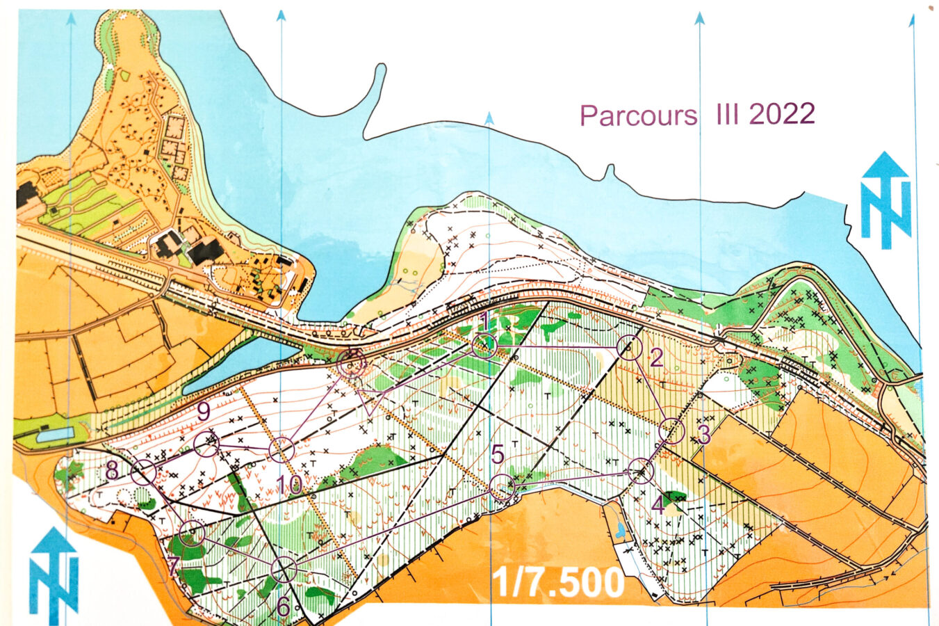
Explanation of the symbols on your orienteering map
Scale: 1:10,000
= Map scale: 1 cm on the map equals 100 meters in reality.
Contour interval (equidistance): 5 m
= The elevation difference between two contour lines is 5 meters.
Arrow with blue N
= Indicates north on your map.
🔴 Red = Course symbols
-
Triangle = Start point
-
Double circle = Finish point
-
Numbered circles = Locations of control points. Each control point is exactly in the center of the circle.
-
Lines connecting the points = Straight-line distance (“as the crow flies”) between control points (usually not walkable).
🔵 Blue = Water and marsh areas
-
Large blue spot at the top of the map = Lake of Bütgenbach
-
Small U-shape near control point 5 = A spring
-
Lines = Streams or brooks
⚪ White = Forest
= Open terrain, you can cross it freely.
🟢 Green = Vegetation
-
Lines = Ground vegetation, harder to cross.
-
Solid green area = Dense vegetation, impossible to cross.
-
Green circles = Remarkable trees (coniferous or deciduous; large or leaning).
🟡 Yellow = Meadows, fields, clearings
= Sometimes also yellow patches inside the forest (open areas).
🔲 Thick line with black dots
= Firebreak
🟤 Brown = Relief and paths
-
V-shape = Hole or pit
-
U-shape = Small depression
-
Dot = Small hill
-
Line with small diagonal ticks = Embankment or slope
-
Thin lines throughout the map = Contour lines
-
Thick line with black border = Road
-
Black = Man-made objects
-
Black rectangles in the center of Worriken = Buildings
-
Solid lines = Passable forest roads
-
Thick dashed lines = Forest paths
-
X = Tree stump
-
O = Objects such as benches, trash bins, signs
-
Lines with diagonal ticks = Fences
-
Thick line = RAVeL cycling route
Be careful when you cross the road
Be careful when you cross the road: people often drive fast there!
Documents to download
Opening hours , price and booking conditions
Opening hours:
The Fun4All opening times apply. Outside the Fun4All-season, the Reception opening hours apply.
Price:
The Fun4All prices apply.
Booking condition:
The Fun4All booking conditions apply.